Distance: 6 miles
Elevation: Less than 1000 feet gain and loss.
Directions to Trailhead: Take 110 Freeway south to Pacific Coast Highway; exit right (west) for 1.5 miles to Crenshaw Blvd.; turn left (south) and follow 3.5 miles to del Cerro Park (on right .3 mi after Crest Road intersection. Take 405 Freeway south to Crenshaw Blvd.; exit right (south) and follow as above. There are no restrooms at del Cerro Park or on the hike
The Hike: We will be walking on dirt roads and trails, which are completely unmarked, so the group should stay together. From del Cerro Park turn right onto Crenshaw Blvd. & proceed through gate to water tank (.5 mi. on left); leave road by continuing straight ahead onto downhill Paintbrush Trail .2 mi. to intersection with Ishibashi Trail and turn right/downhill onto it for .3 mi. where it intersects Burma Trail (dirt road).
For main hike (see below for shorter options) turn left for .5 mi to major junction of multiple trails where you bear right/downhill to a T intersection with Flying Mane Trail; turn right and bear right .2 mi. onto Peppertree Trail (dirt road with gas pipeline). In .4 mi. (near intersection with Ishibashi Trail from right/uphill) bear left onto Narcissa Drive (paved) for .5 mi. to Plum Tree Road; turn right/uphill and proceed around gate to Vanderlip Trail; turn left for .2 mi. then right onto Sunshine Trail for .1 mi. to inter- section with Jack's Hat Trail.
This is a good spot for views and pit stops (lots of bushes) and possibly lunch. Turn right/uphill onto Jack's Hat Trail which has some steep portions for .5 mi. (until it turns abruptly left/uphill toward overlooking homes) and take Tori's Trail (small footpath) to right across canyons and streambeds where it joins Kelvin Canyon Trail and eventually (.5 mi.) merges with Burma Trail (dirt road). Follow Burma Trail left/uphill across Peacock Flats .5 mi. to junction with Crenshaw Road at water tank and back to del Cerro Park.
For shorter hiker options: From intersection of Ishibashi Trail with Burma Trail:
Option A - Turn right and follow Burma Trail back to Crenshaw Road/del Cerro Park-2mi.
Option B - Turn left as on main hike along Burma and Peppertree Trails but eliminate Narcissa Road/steep and rough terrain by turning right/uphill onto Ishibashi Trail which intersects Burma Trail in .2 mi.; follow left to Crenshaw Road as option A - 3 mi.
Option C - Extend B by following Peppertree Trail to Narcissa Road/Plum Tree Road and then retrace back to Ishibashi Trail as in Option B - 4 mi.
Option D - Turn right onto Burma Trail and quickly (less than .1 mi.) left onto large downhill trail (Ishibashi continuation) for .2 mi. where it intersects with Peppertree Trail. Turn right onto small trail to Narcissa Drive and follow main hike route - 5 mi.
We will have refreshments at nearby Highridge Park (about 1 mile away) where there are restroom facilities and tables. Directions: At intersection of Crenshaw and Crest roads turn west onto Crest; in .6 miles turn right onto Highridge and park is .5 miles on left.
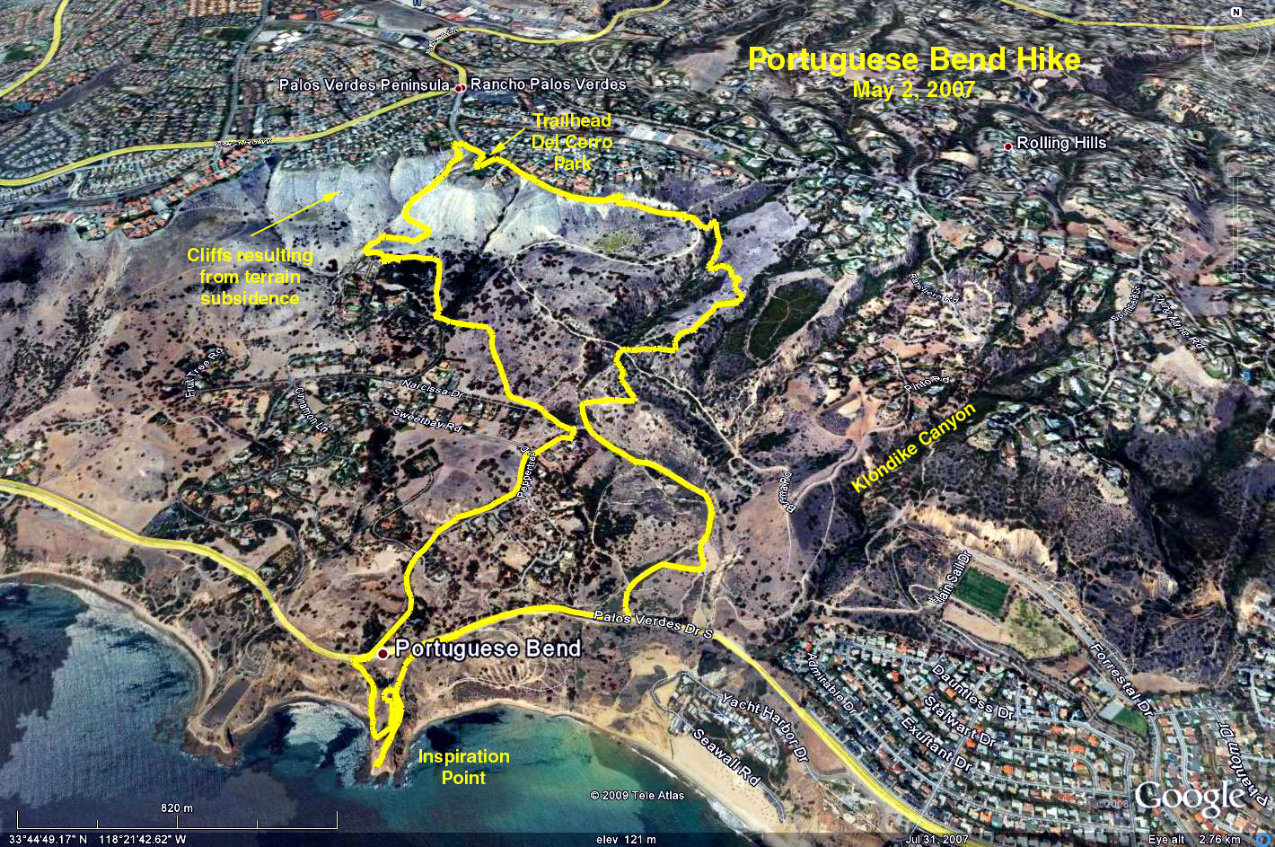
Google Earth photo - Portuguese Bens - Palos Verdes Penninsula
GPS Data:
RT = 6.0 mi.
Trailhead = 1150 ft.
Max Elevation Change = 1150 ft. (down to waters edge).