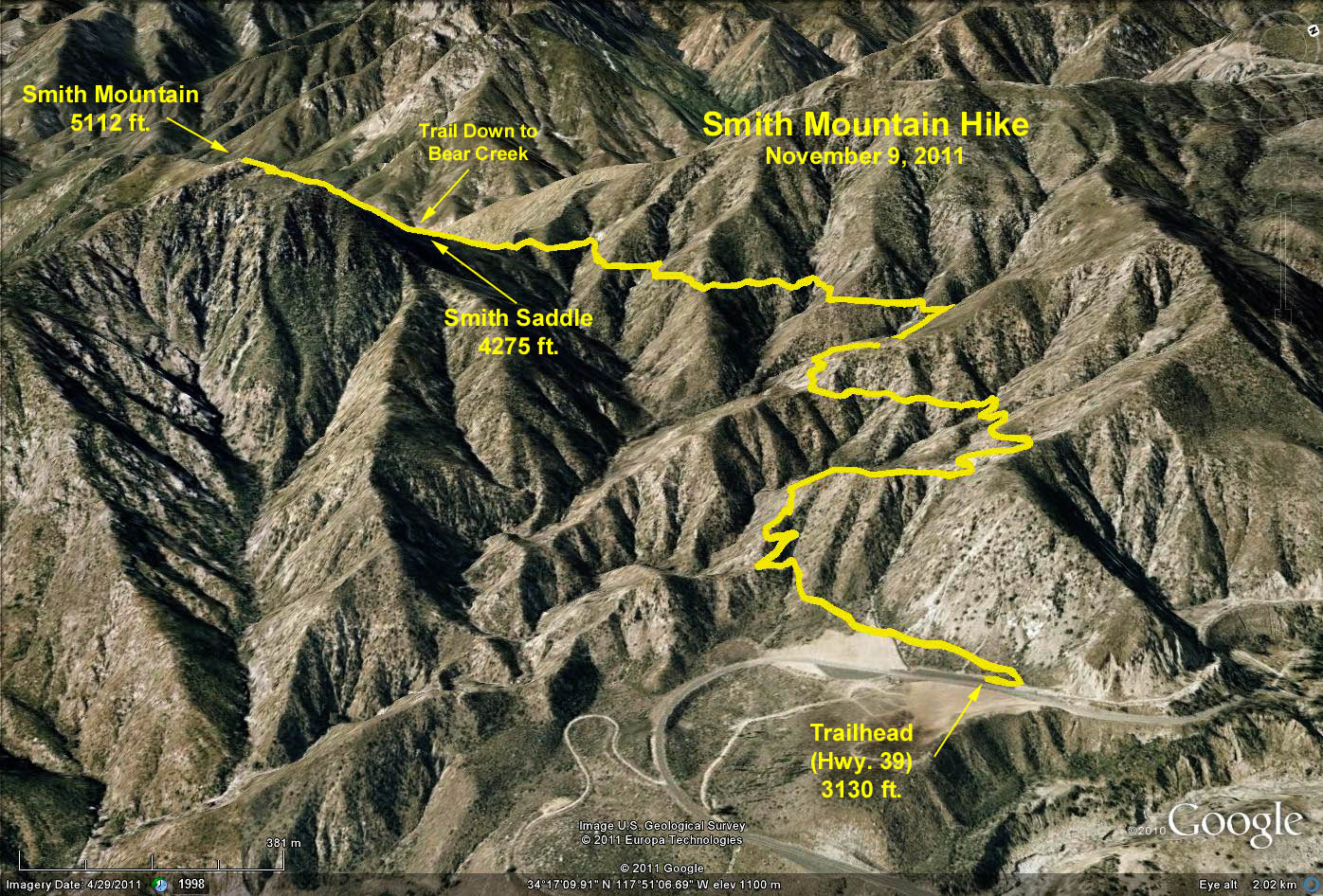
Distance to Saddle: 6 mi. RT; Elevation Gain = 1100 ft.
Optional Scramble to Peak: 7 mi. RT; Elevation Gain = 2000 ft.
Directions to Trailhead: Drive up Hwy 39 from Azusa, 17 miles, to the beginning of Bear Creek trail, marked by a metal sign; 1/4 mile before Coldbrook Camp. Park on the left side of the road. There is a restroom at the trailhead.
The Hike: Walk 3 miles up the well graded Bear Creek trail to Smith Saddle at the top of the ridge. Those with lots of energy can do an optional 1/2 mile additional scramble directly up the ridge to the top of Smith Mountain following traces of a path beaten by climbers. Watch your footing during the ridge descent.
Lunch at the saddle (or peak), then return to the trailhead for refreshments.
Google Earth Photo Smith Mountain Hikes
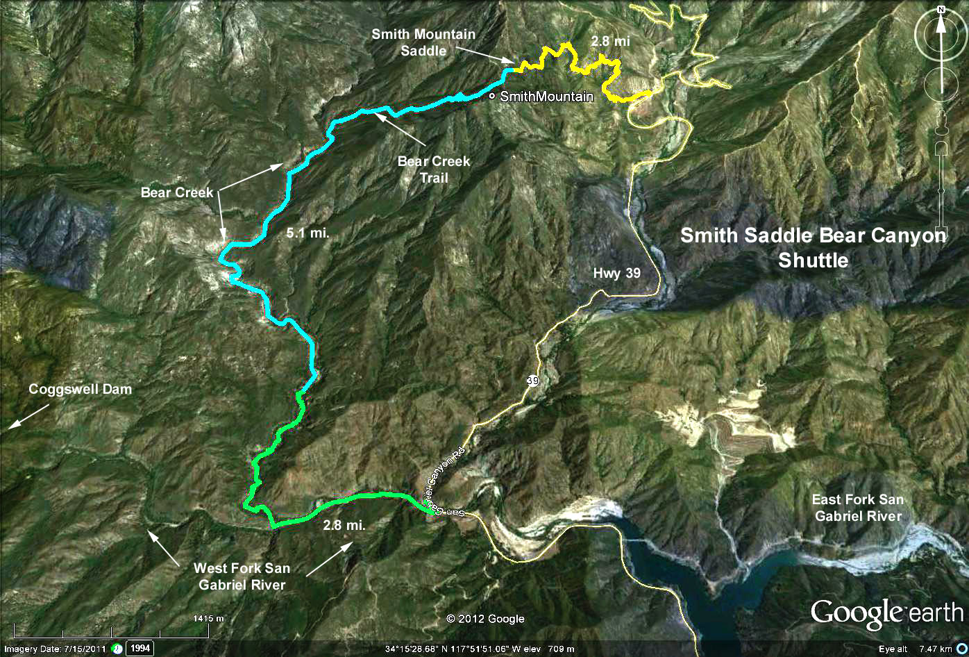
Google Earth Photo Smith Saddle - Bear Creek Shuttle
GPS Data:
To the Saddle: 6 mi. RT, elevation gain = 1145 ft.
Saddle to Peak: 0.6 mi. one way, elevation gain = 840 ft.
Total to Peak: 7.2 mi. RT; elevation gain = 1985 ft.