Hike #1378
September 19, 2018
Los Angeles River Greenway Trail
Hike Leader: Jim Carlin
Meet at 9:00 am for start at 9:30 am
Please print your own hike descriptions and maps. This will avoid the inconvenience and save costs to the hike leader.
Hike or Bike the Los Angeles River Greenway Trail
Basic Hike: 8.0 miles RT; Elev. Gain = 350 ft. One-way travel (Per Google Maps): 1 hour 15 minutes walking, 20 minutes by bike.
Extended Hike: 9.8 RT; Elev. Gain = 375 ft.
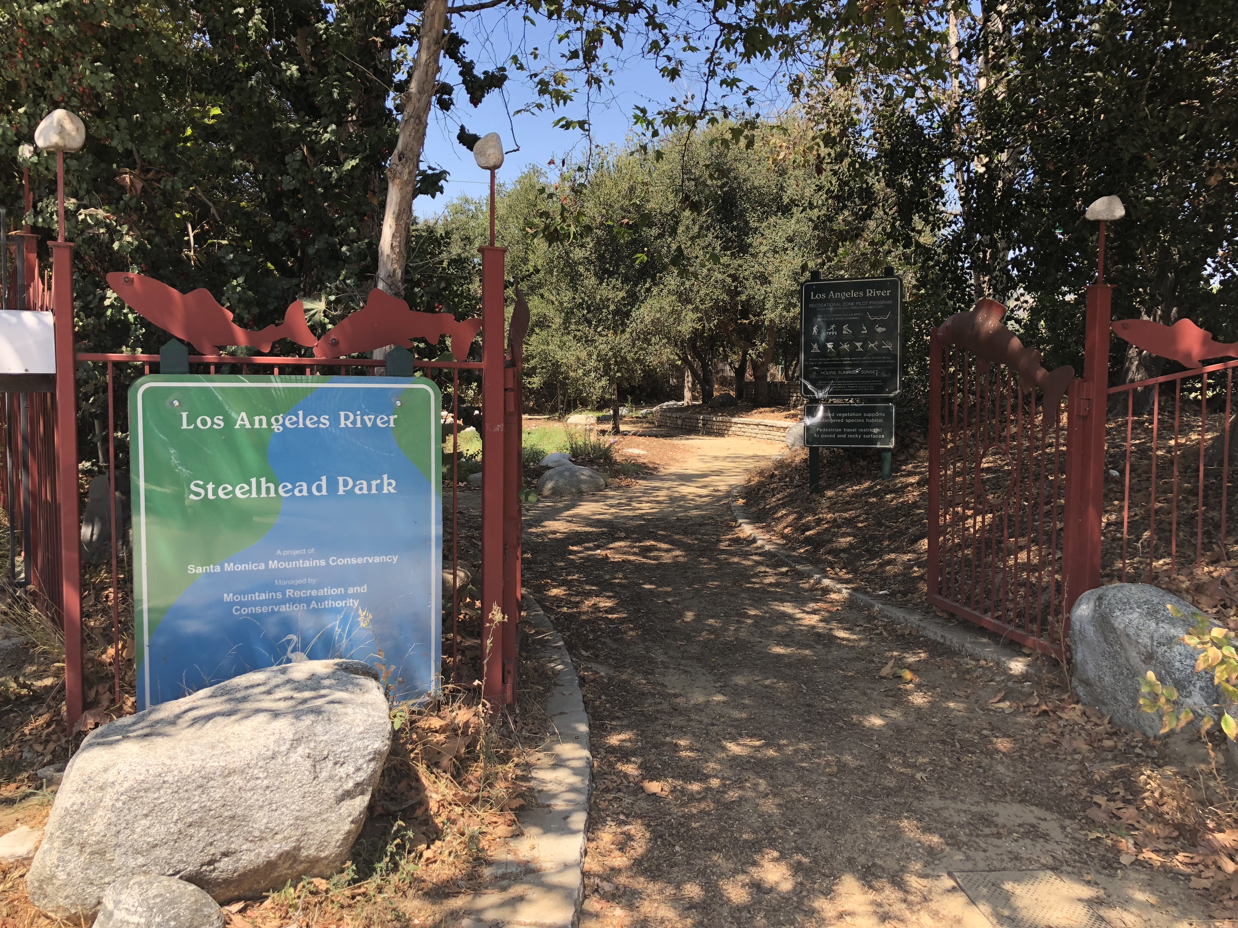
Directions to Trailhead: From I-5 southbound, exit Stadium Way/West Riverside Dr. and turn right. Drive north until reaching West Riverside Drive, turn right and proceed under the freeway, turn right and drive about 1 mile south on Riverside Drive to Oros St. - turn left and park on Oros St. or Blake Ave. From I-5 northbound, exit West Riverside Dr. and turn right. Drive south on Riverside Drive to Oros St. –turn left and park on Oros St. or Blake Ave. The trailhead (and place for after hike refreshments) is at Steelhead Park located on the left at the end of Oros St. There are no restrooms at the trailhead, but there are many such places along the hike (see below).
Basic Hike: The end point of the hike is the Los Feliz Blvd. bridge.
Extended Hike: Rabbits can go beyond this point until construction ends the bike path and directs hikers under Hwy 5 and into the south-eastern portion of Griffith Park for an extra 1.8 miles RT or 9.8 miles RT total. A good lunch spot is the picnic tables near the kids playground.
Bicyclers: Cyclers can go further along the Griffith Park Trails
up to the Hwy 134.
Route instructions and some of the places to visit along the trail follow (one way miles from trailhead):
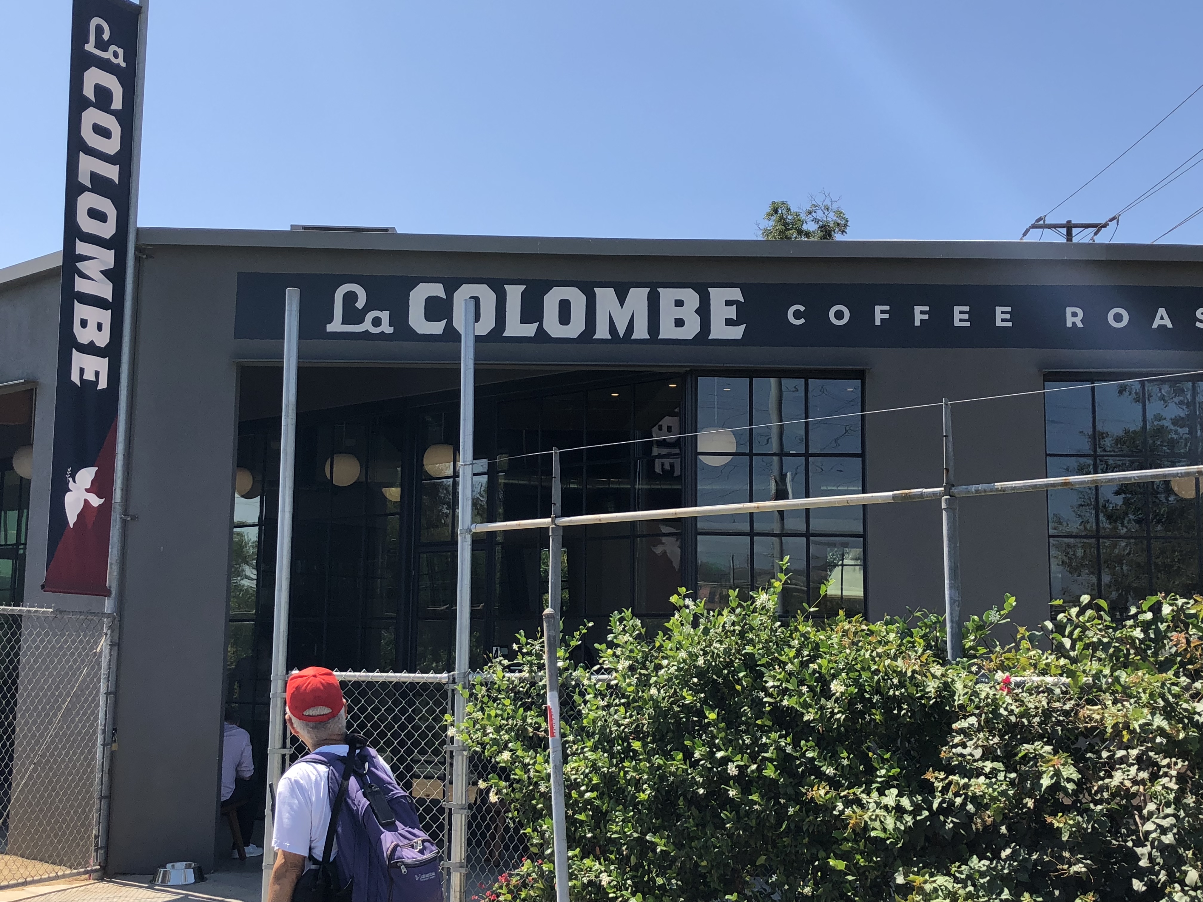
1. La Colombe Coffee Shop @ 1.5 miles (drinks and restroom facilities).
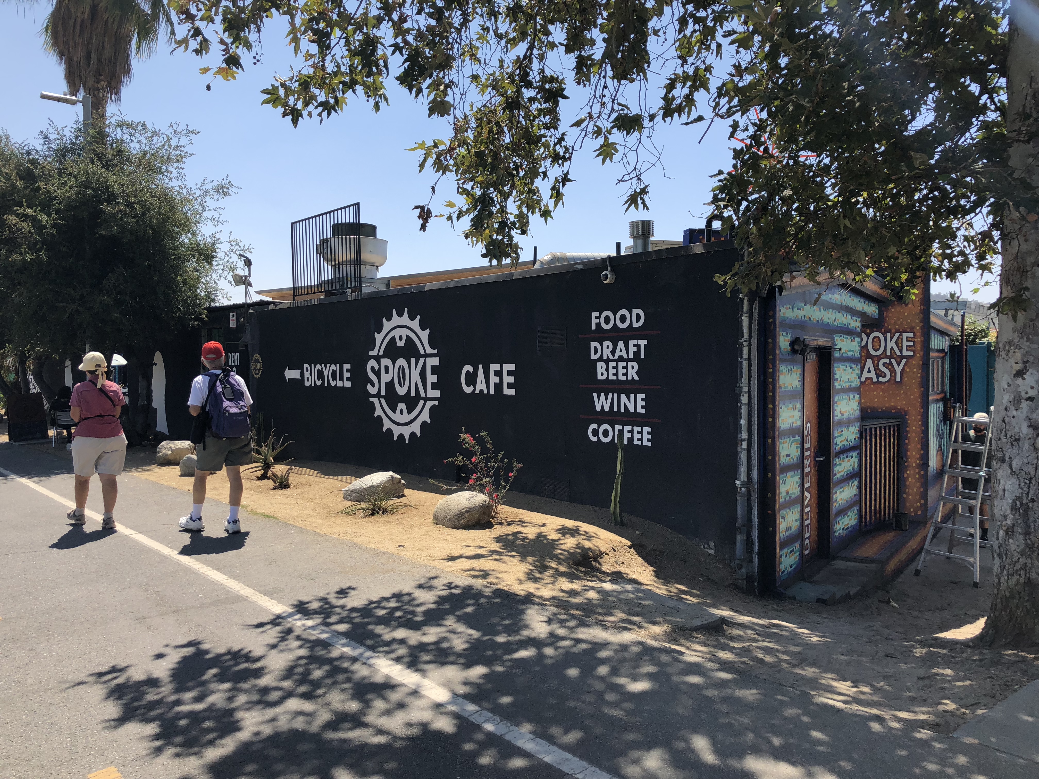
2. Spoke Bicycle Repair Shop and Café @ 1.75 miles (food/drinks/repairs and restroom facilities).
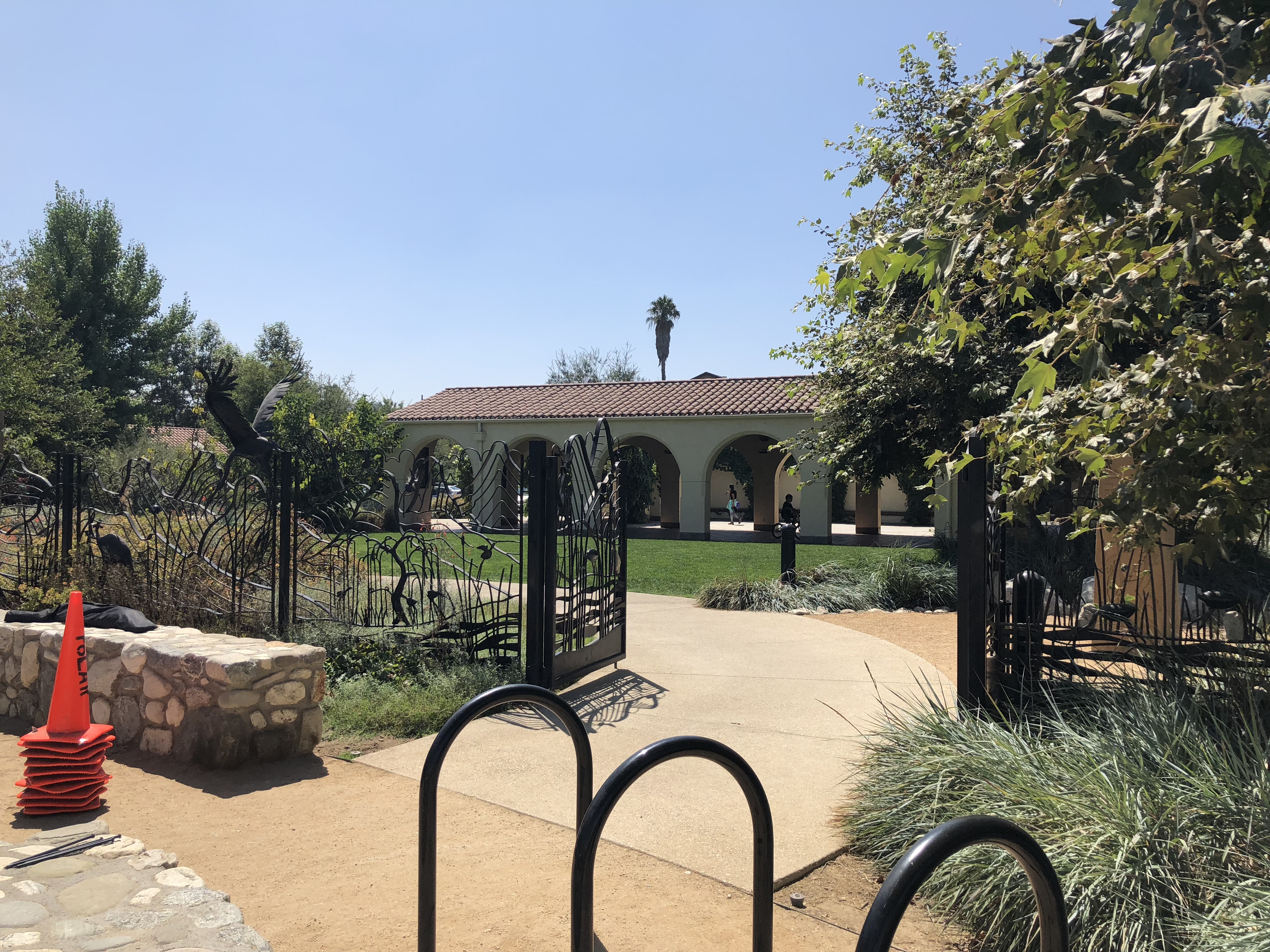
3. Lewis MacAdams Riverfront Park @ 2.3 miles (clean public restrooms and water fountains).
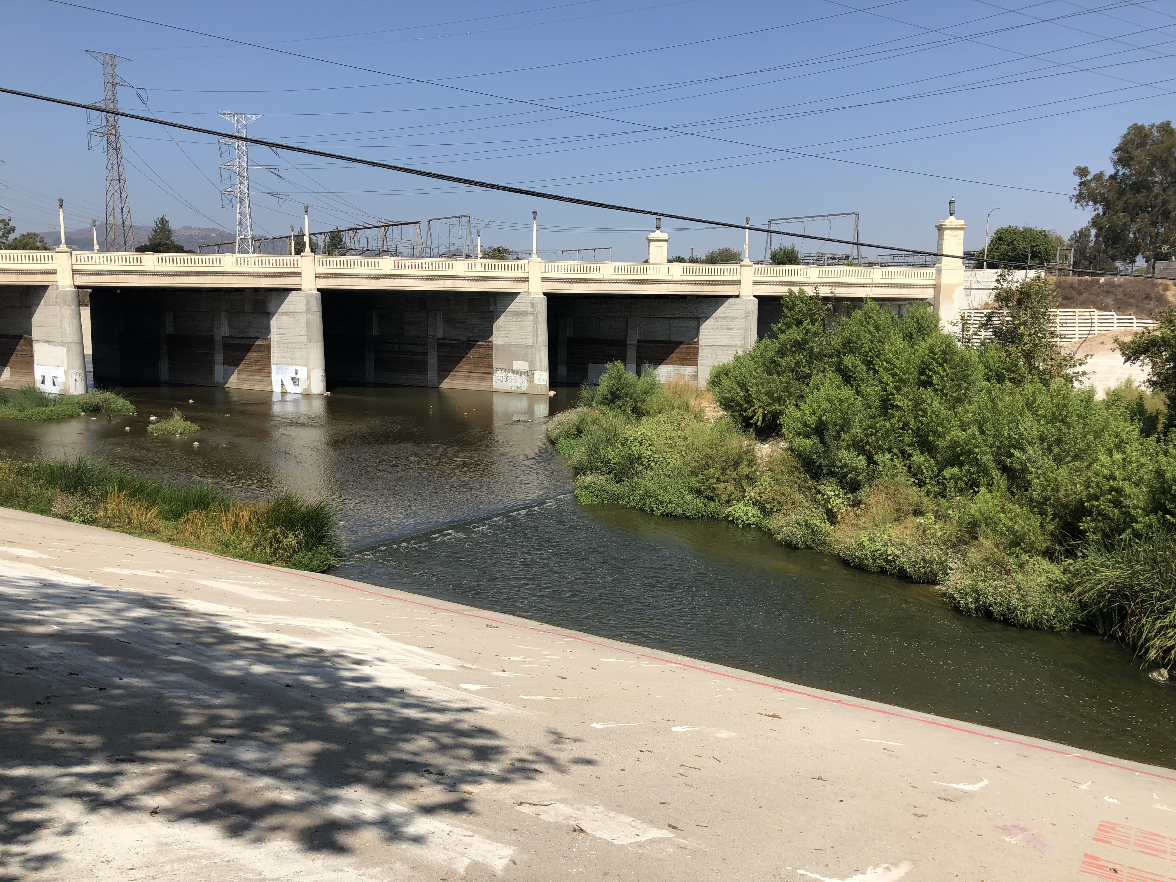
4. I-2 Freeway Bridge @ 2.4 miles (take right fork under the bridge).
5. Fletcher Dr. Bridge @ 2.5 miles (take right fork under the bridge).
6. Glendale Blvd. Bridge @ 3.3 miles (take right fork under the bridge).
7. Sunnynook River Park @ 3.4 miles (great place for lunch on the return trip).
8. Los Feliz Blvd. Bridge @ 4.0 miles.
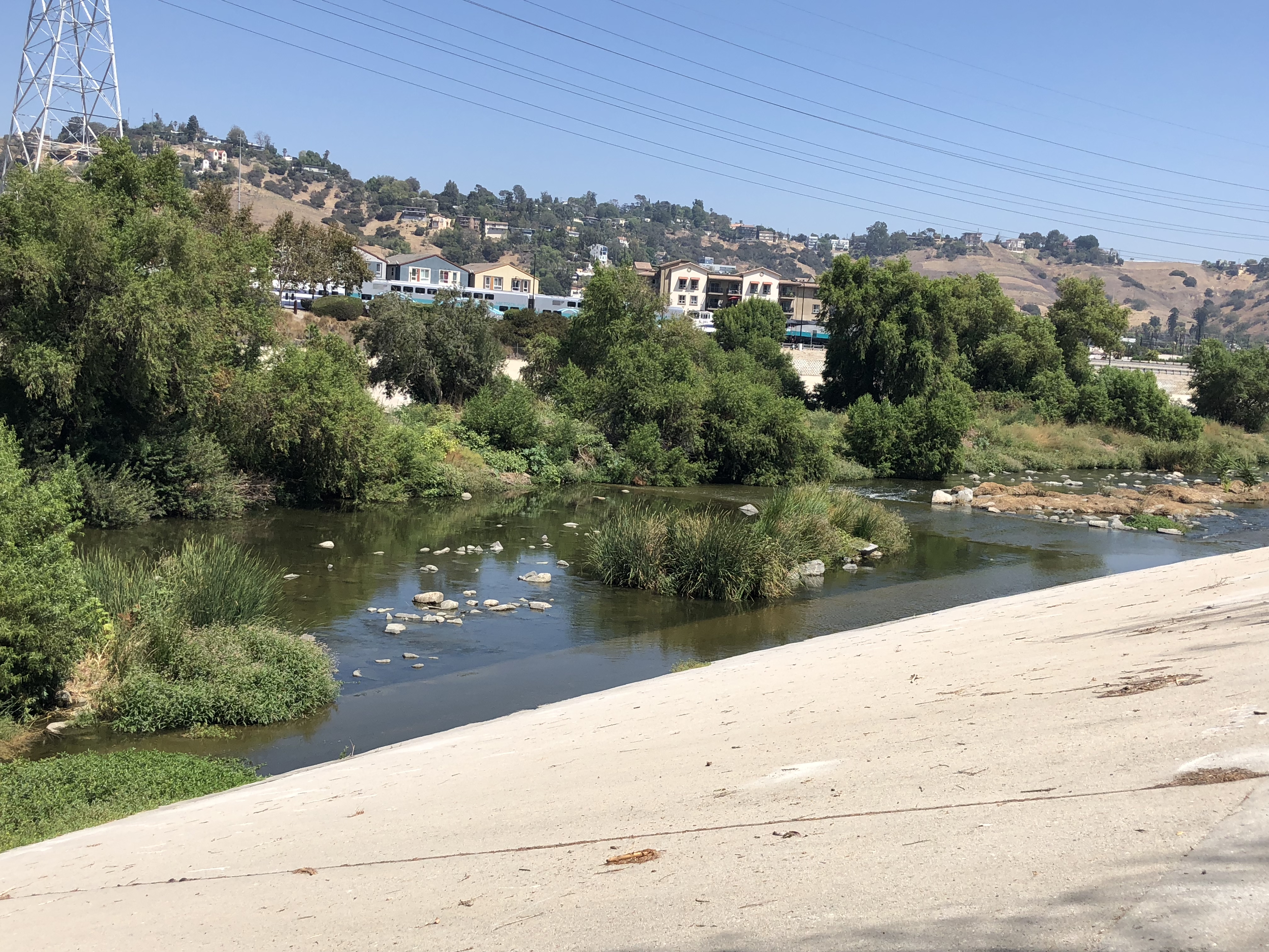
9. Griffith Park @ 4.9 miles.
9. Return to trailhead by same route.
Those adventurous souls can scramble down to the islands in the river bed and bushwhack though the vegetation. You could however run out of dry land so be careful.
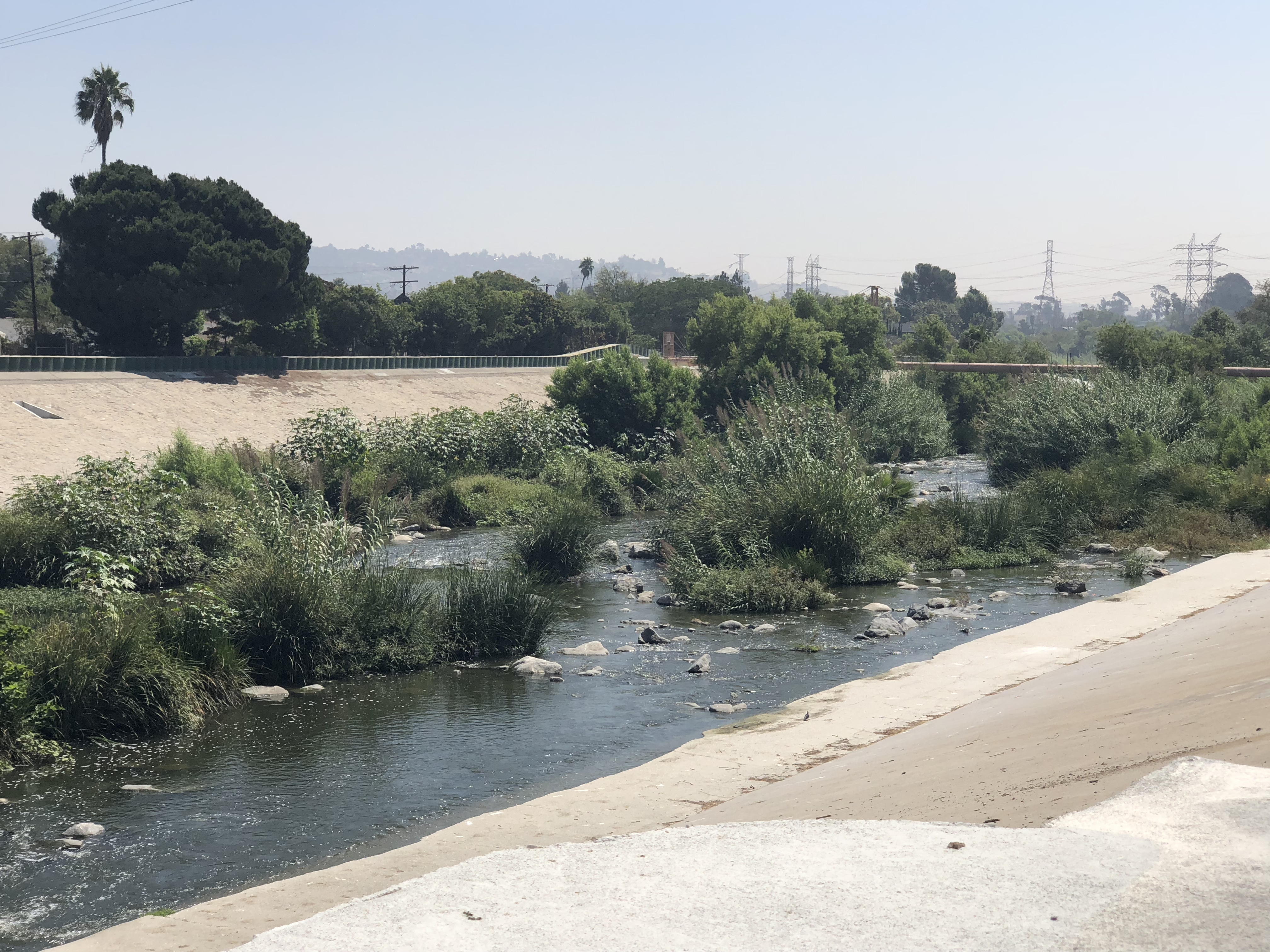
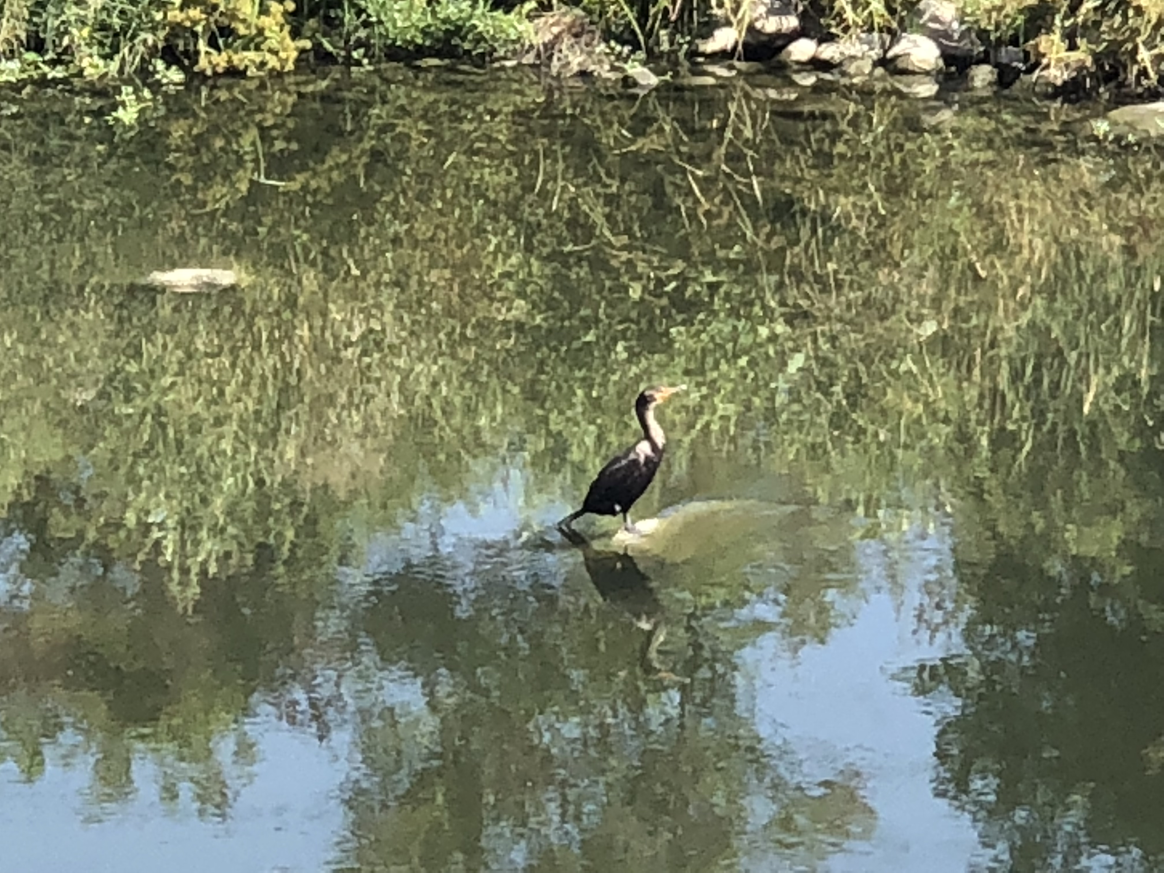
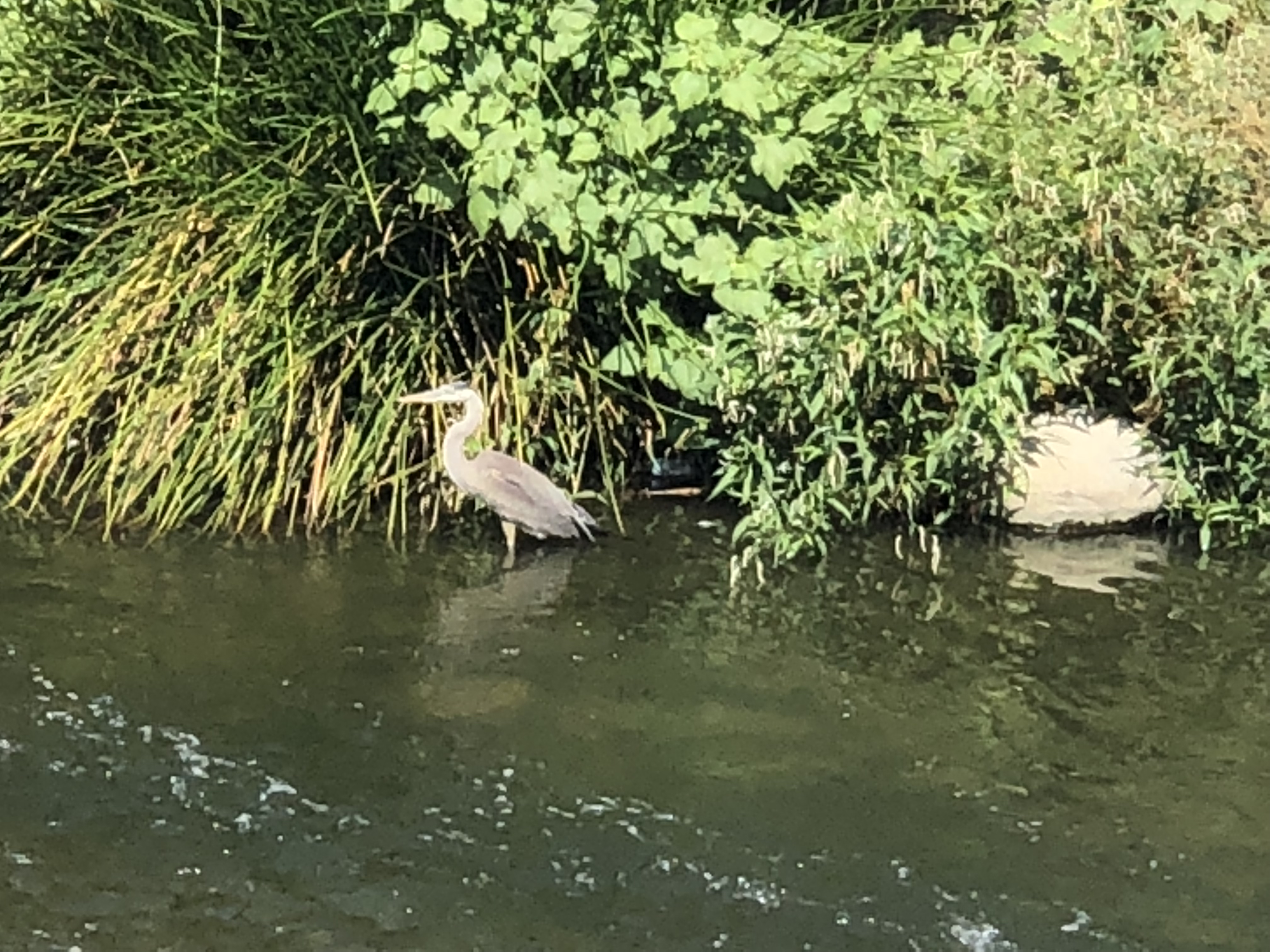
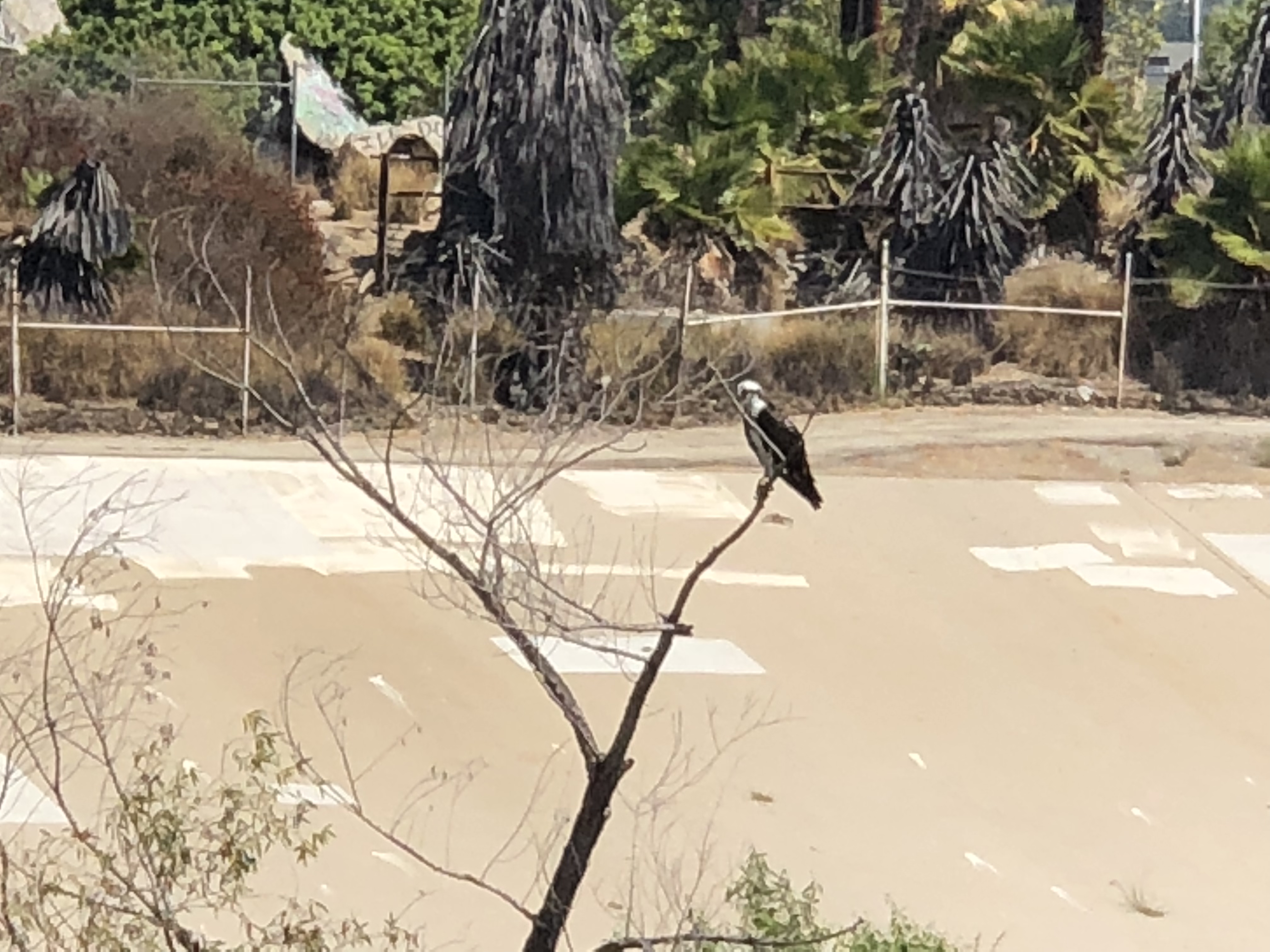
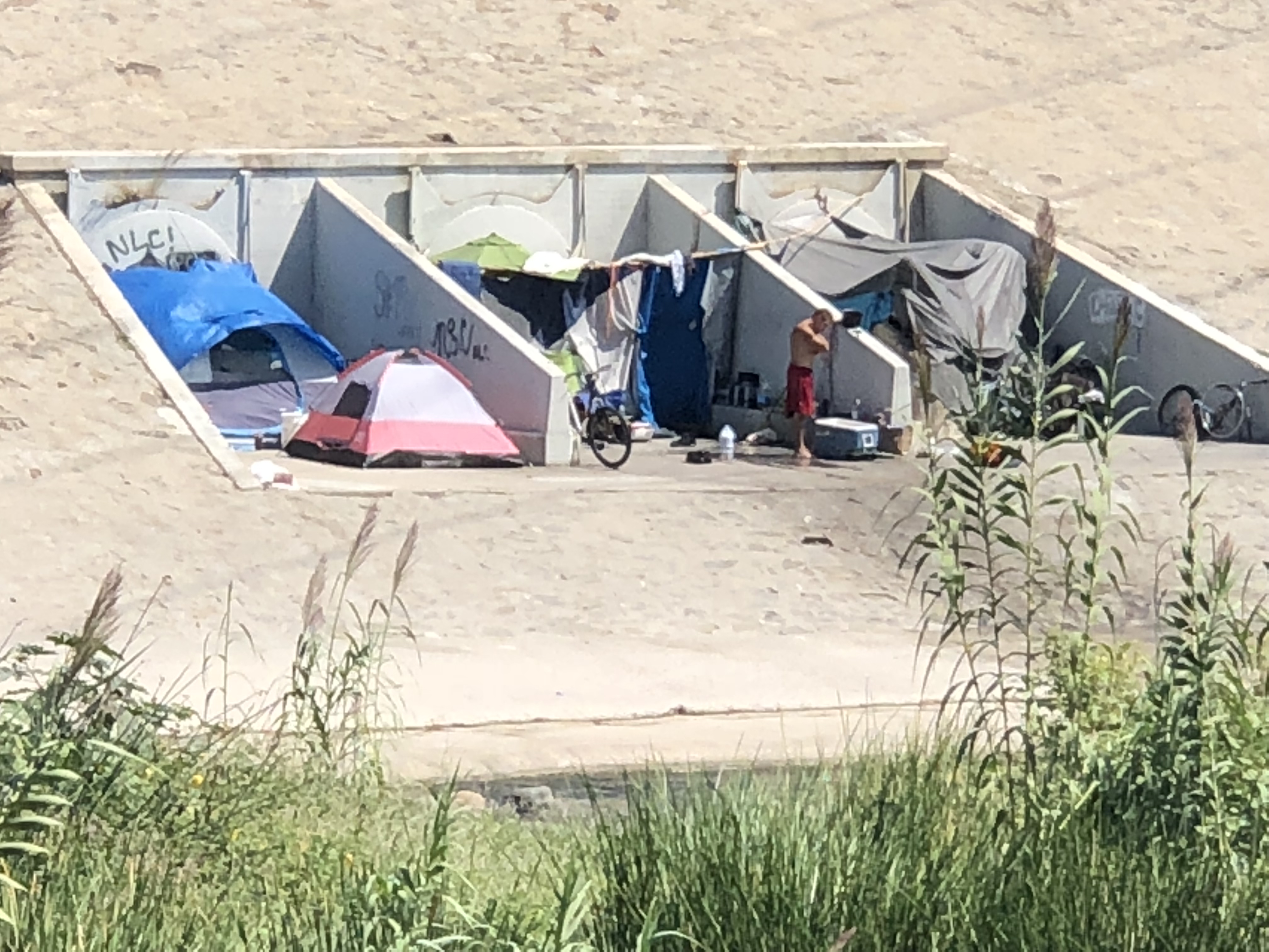
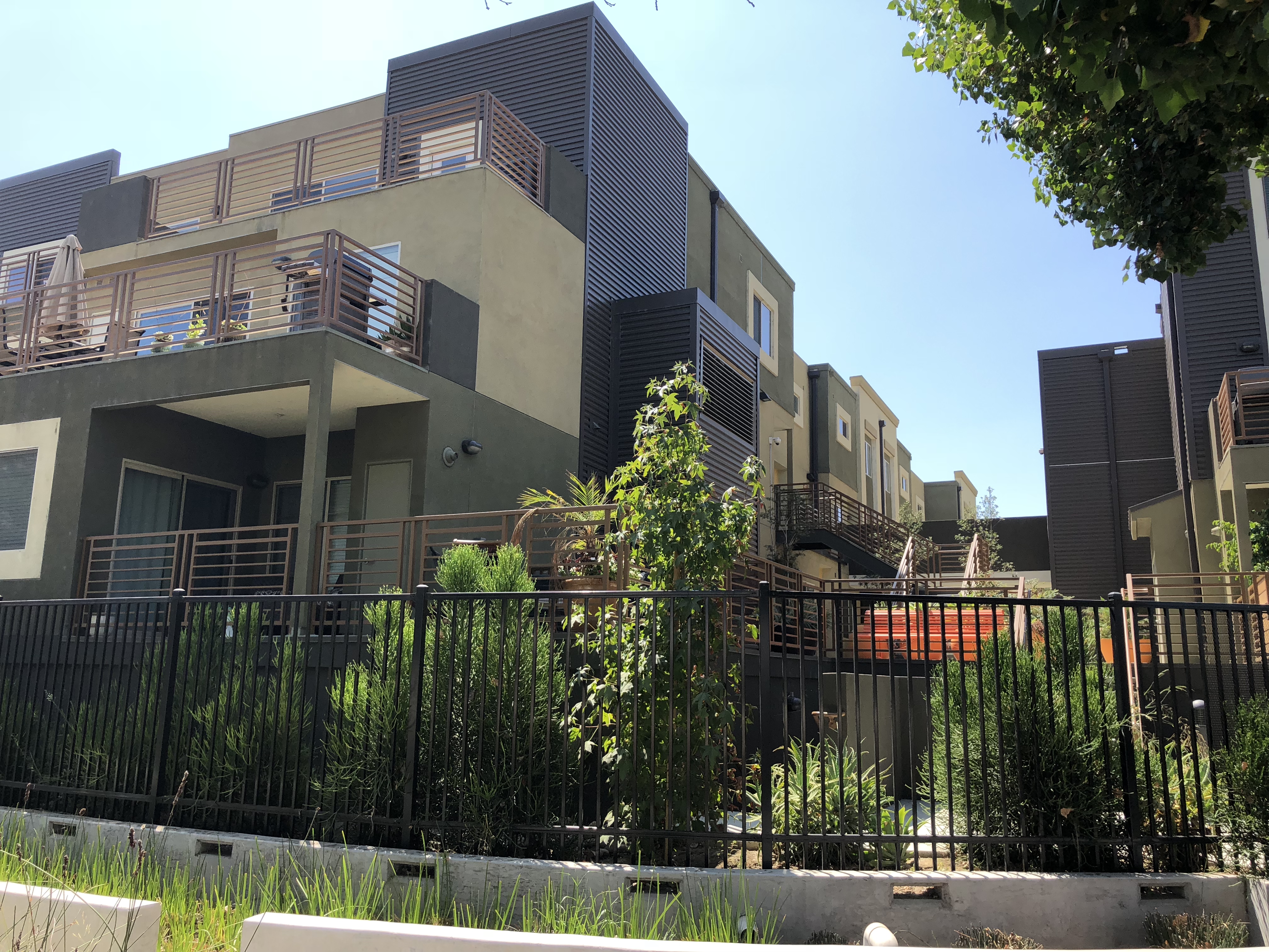
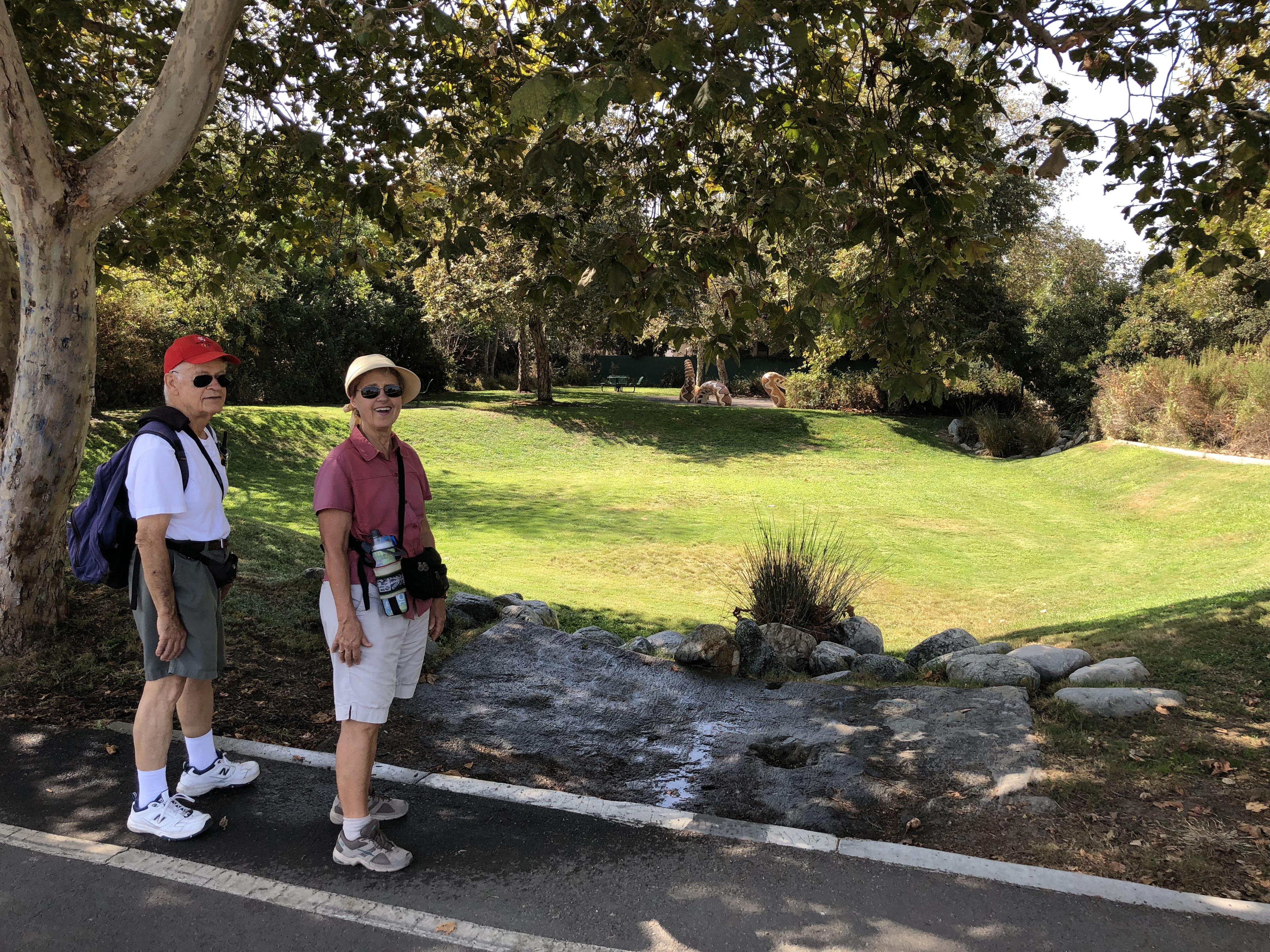
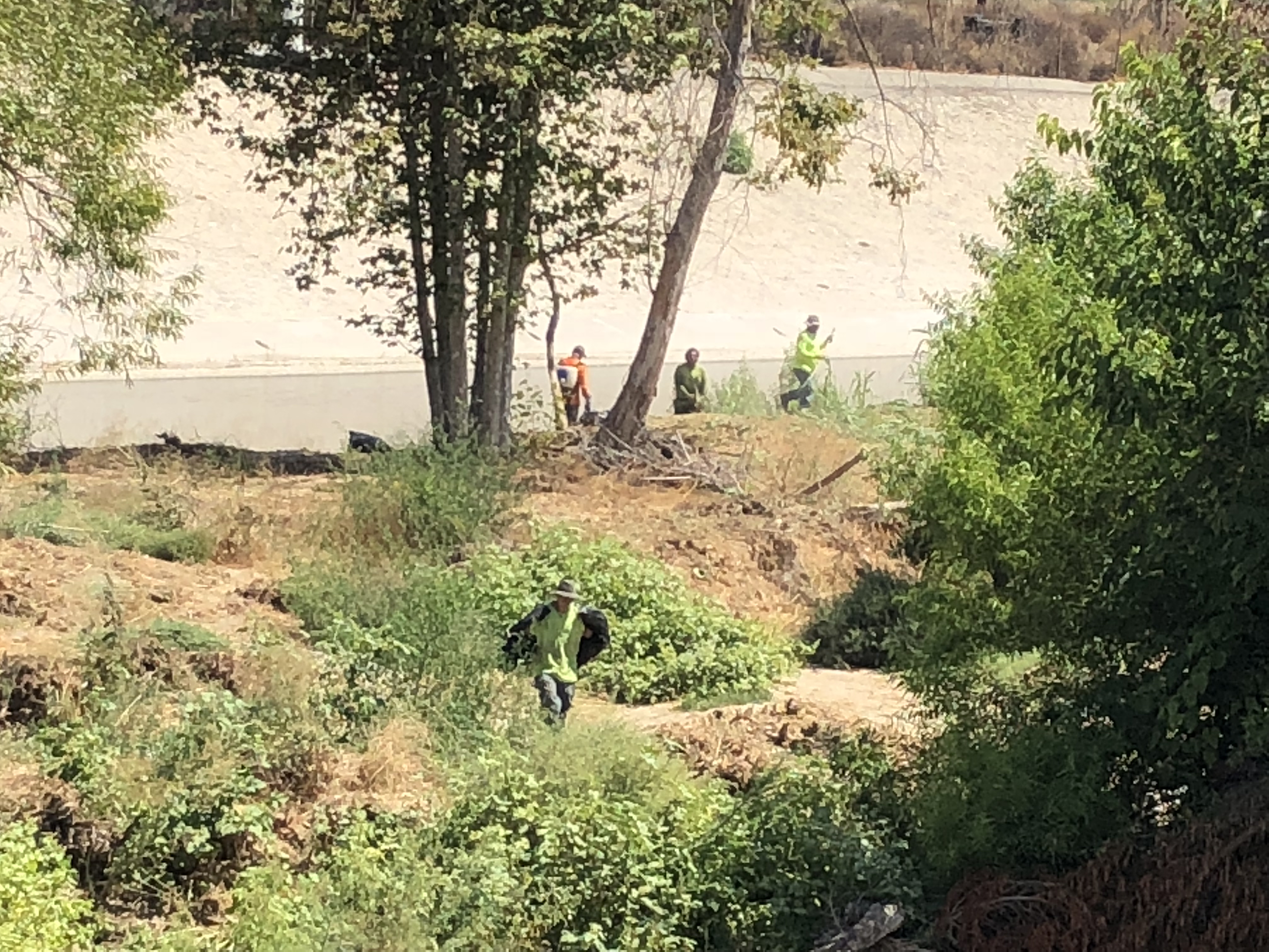
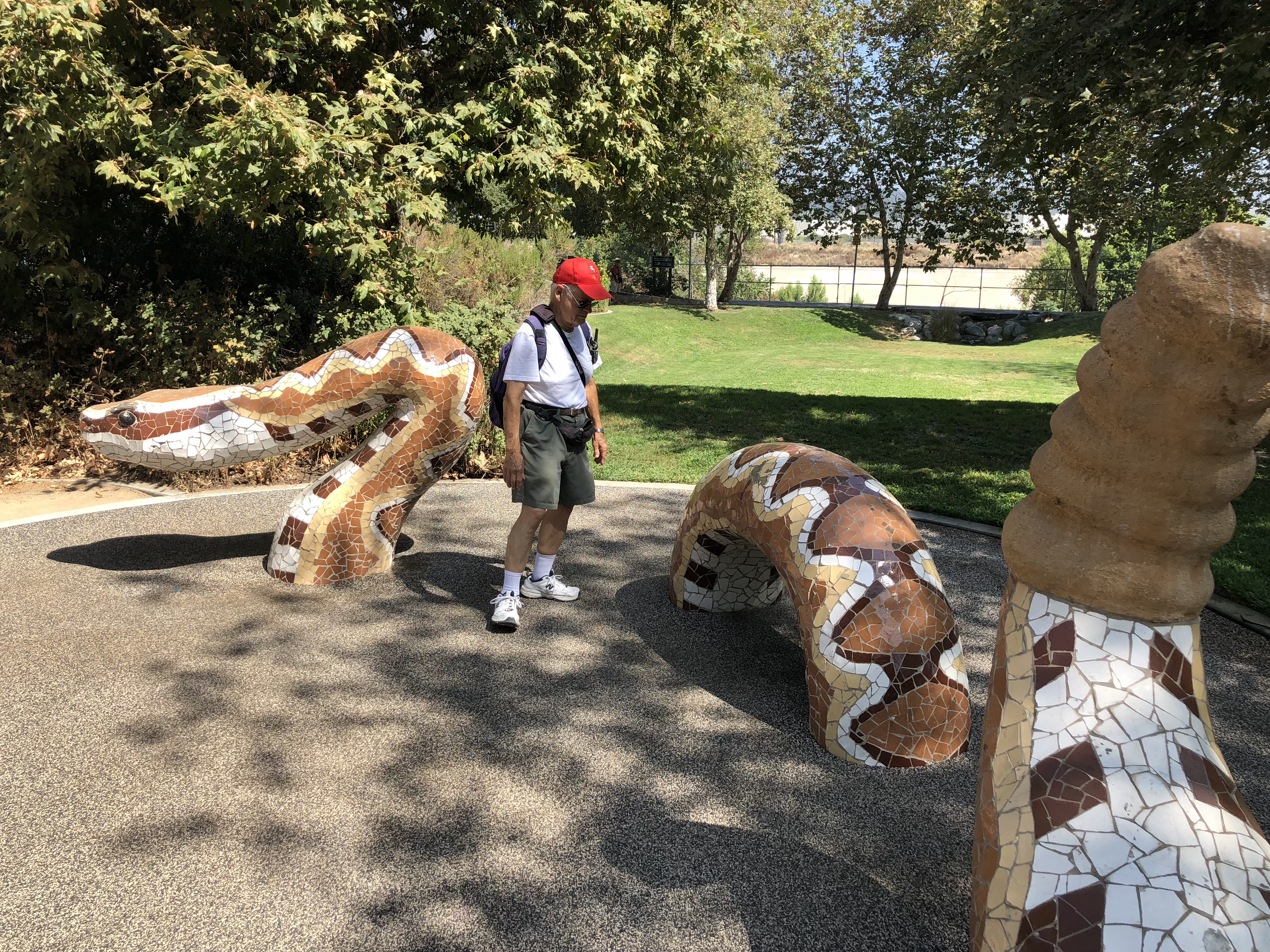
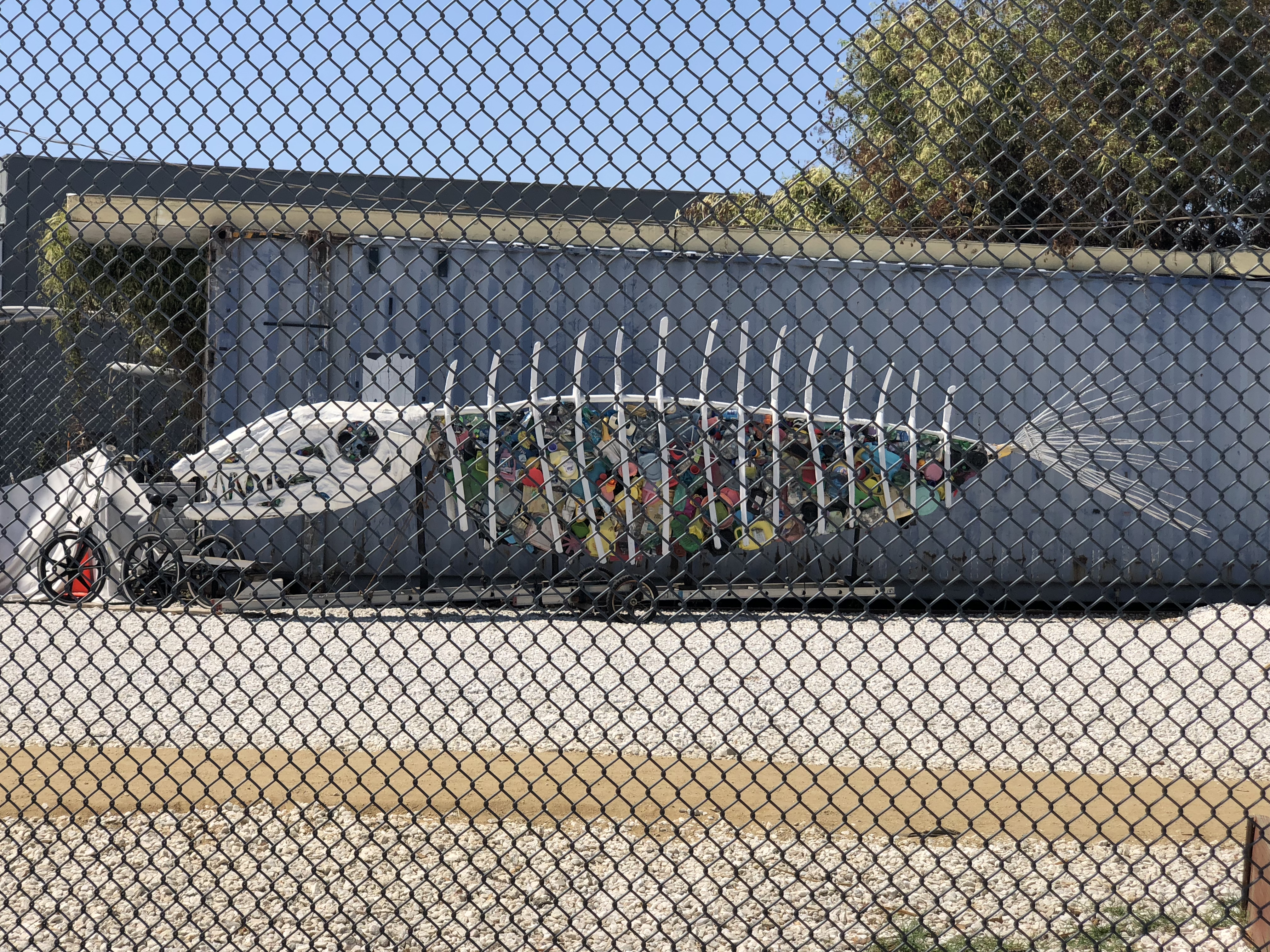
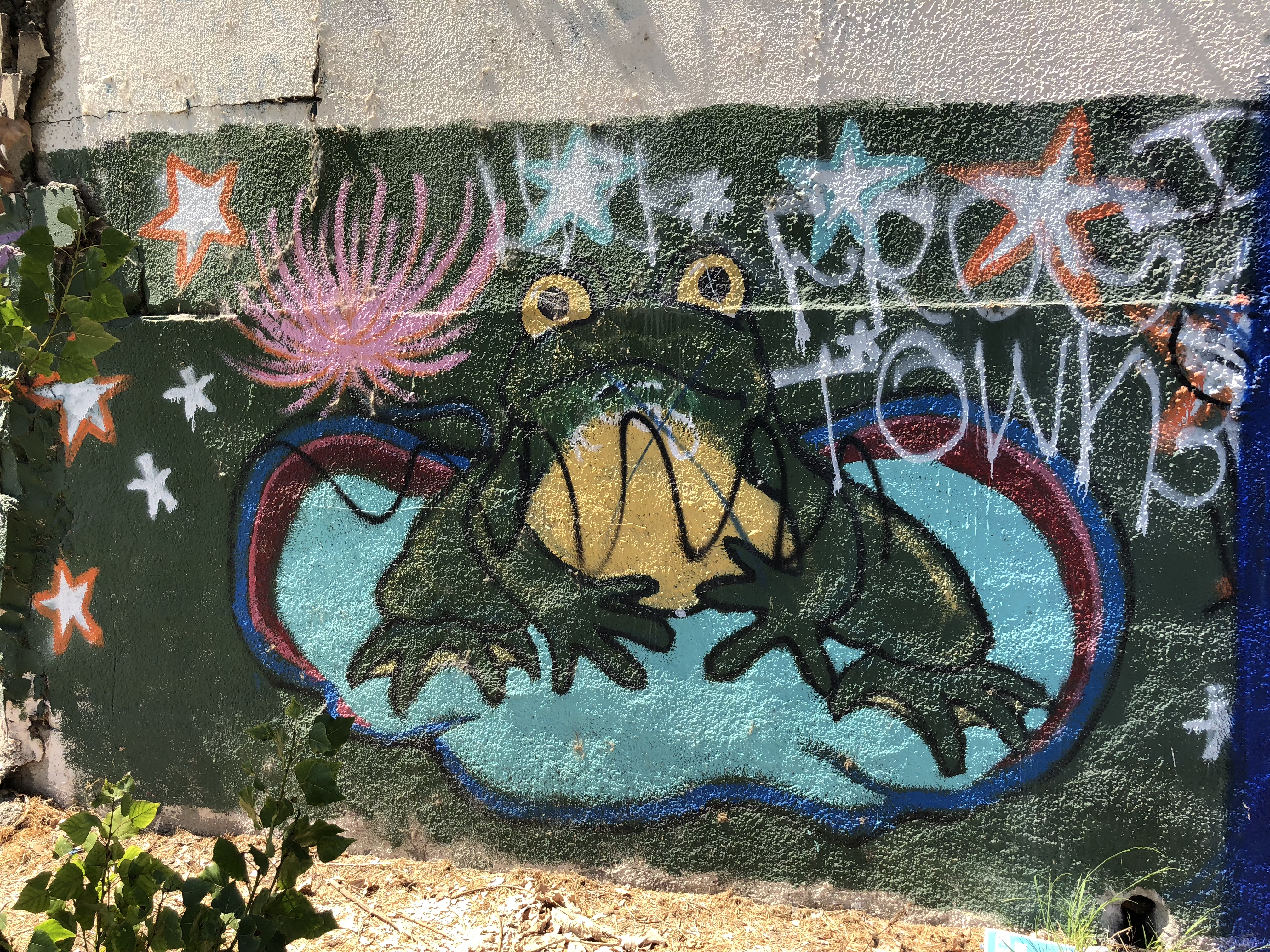
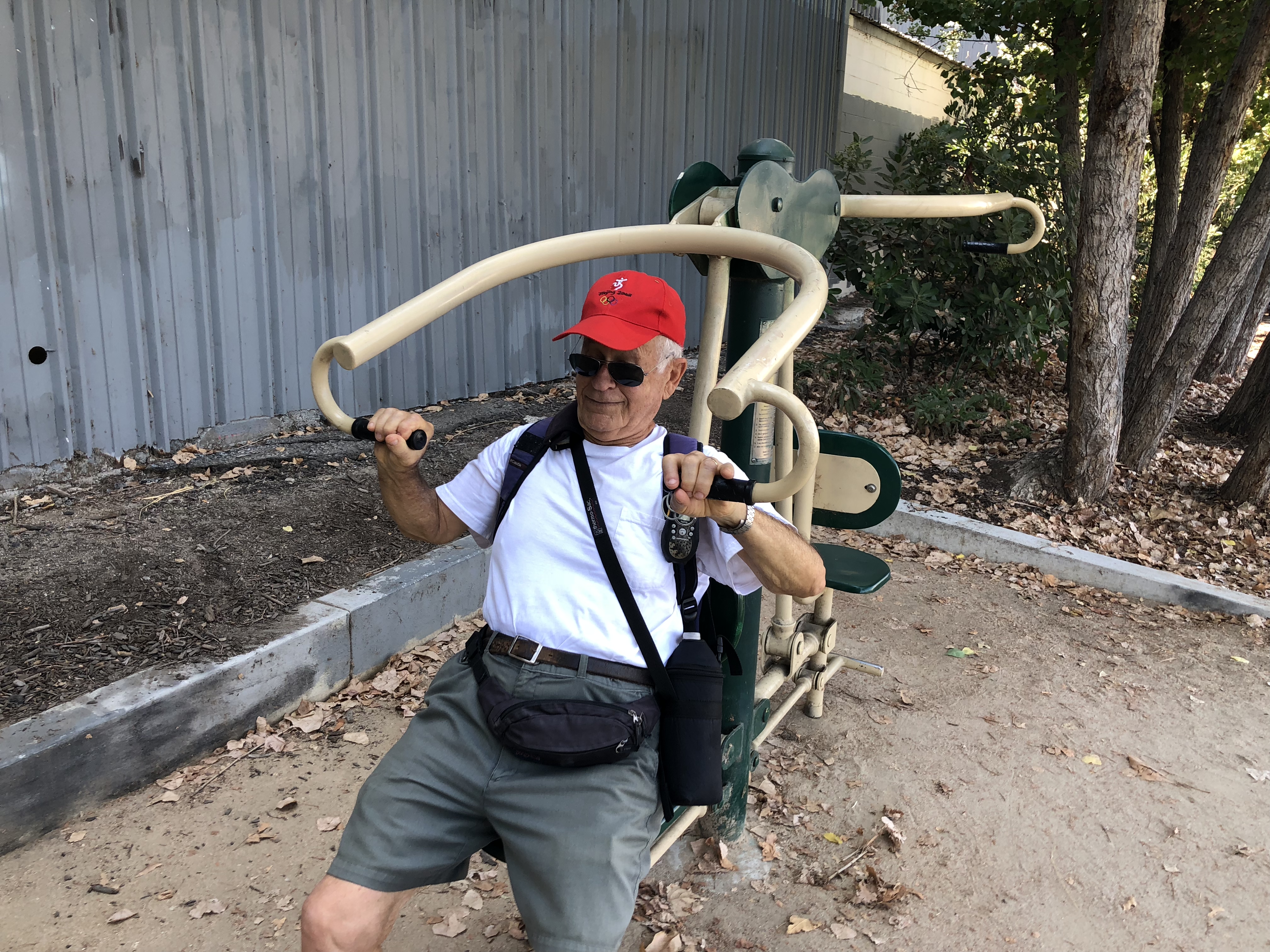
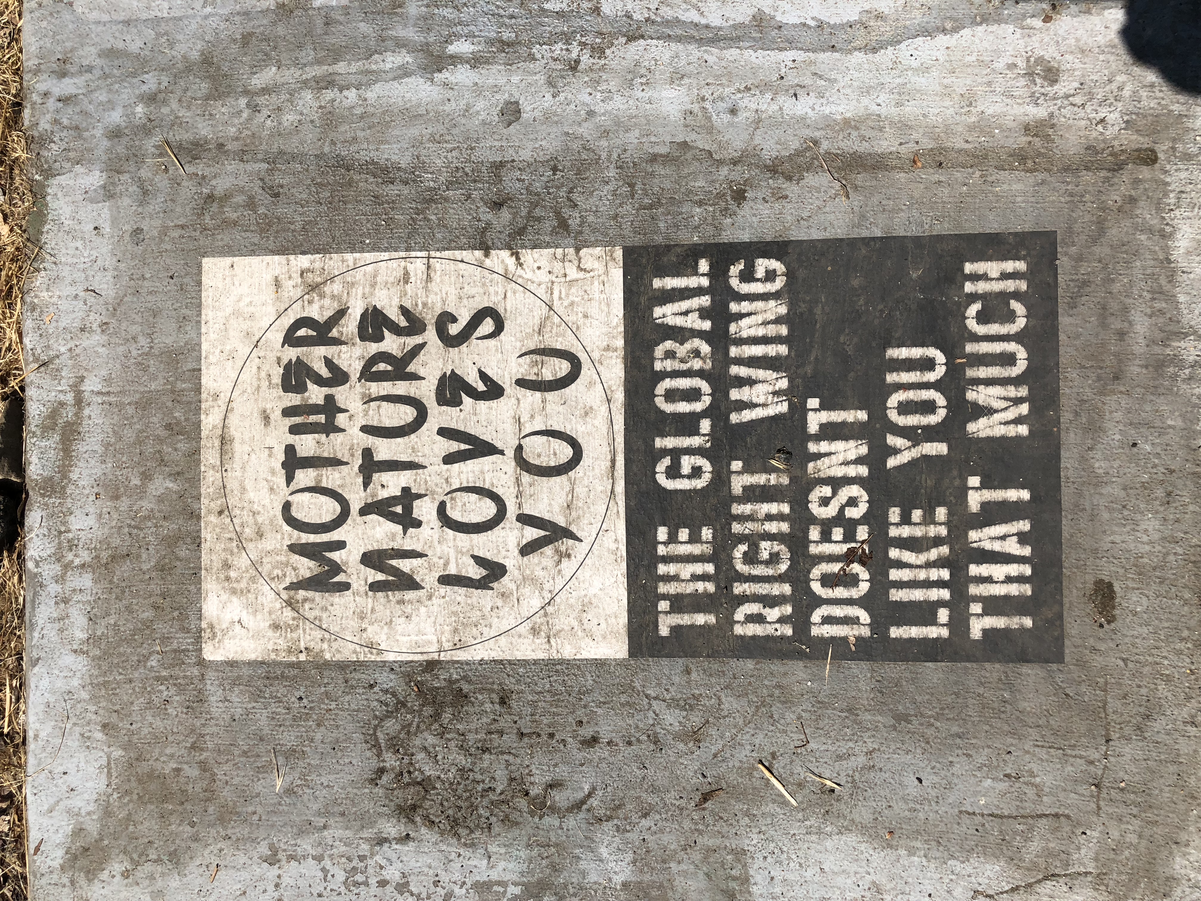
You’ll see many species of river birds (cormorant, heron, osprey, ducks, teals, geese), homeless encampments, gentrification, bioswales, cleanup crews, giant snakes, giant fish, frogs, exercise equipment and political graffiti.
The trail is predominantly a bike path (bring comfortable walking shoes). The walking lanes on either side are sometimes very narrow, permitting only single line walkers. There are many cyclists, often going at high speeds in the center lanes. Always try to walk on the left facing oncoming cyclists. NEVER CROSS OVER FROM ONE SIDE TO THE OTHER WITHOUT FIRST LOOKING IN BOTH DIRECTIONS.
Supplemental River Information: The headwaters of the Los Angeles River are the Bell Canyon and Arroyo Calabasas creeks. The river starts at their junction in Canoga Park. The river is fed by drainage from the mountains surrounding the San Fernando Valley, urban runoff, output of the Tillman Sewage Treatment plant, and natural springs. The river runs 51 miles, exiting to the ocean in Long Beach. It was finally contained in concrete by the Army Corps of Engineers after the floods of 1938.
The river is supported by the Friends of the LA River, a group started by Lewis MacAdams. We will pass their facility on the hike.
A link to their web page: https://folar.org
Greenway Trail Link: http://www.nrtdatabase.org/trailDetail.php?recordID=3801#three
Original 2004-02-11 Hike #697 Map and Description
Google Earth - LA River Greenway Bike Path
2018-09-20